
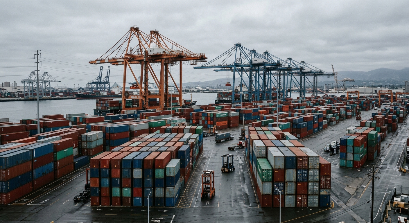
AI-generated illustration; not a photograph of the reported event.
- calendar_today November 21, 2026
Magnitude 3.3 Earthquake Jolts Southern California
Southern California experienced another earthquake early Saturday morning, just a day after a magnitude 3.9 temblor affected Los Angeles County. According to the U.S. Geological Survey (USGS), the latest quake measured magnitude 3.3 and struck at 6:09 a.m. off the coast, roughly 4 miles southeast of Point Fermin in San Pedro and about 9 miles southwest of downtown Long Beach.
Areas Affected by the Quake
The magnitude 3.3 quake resulted in weak shaking throughout parts of southern Los Angeles County and western Orange County. Cities and neighborhoods where shaking was possibly felt included Torrance, Redondo Beach, Carson, the Palos Verdes Peninsula, Buena Park, Seal Beach, and Huntington Beach. Areas closer to the quake’s offshore epicenter reported more intense “light shaking,” as classified by the Modified Mercalli Intensity Scale, particularly in South Los Angeles, East Los Angeles, Boyle Heights, downtown Los Angeles, Monterey Park, and Alhambra.
Local Fault Systems: Palos Verdes and Cabrillo
Saturday’s earthquake occurred near the Cabrillo and Palos Verdes faults. The Palos Verdes fault zone stretches nearly 70 miles along the coast of Los Angeles and Orange counties, extending under numerous neighborhoods and the ports of Los Angeles and Long Beach. Notably, this fault system is capable of producing significant earthquakes. Previous studies estimated it could generate a magnitude 7.4 event, but more recent research suggests it could unleash a quake as strong as magnitude 7.8. In a worst-case scenario, the Palos Verdes fault system could cause destruction on the scale of the historic 1994 Northridge earthquake and the 2019 Ridgecrest quake, according to Harvard professor John H. Shaw.
The Puente Hills Fault and Recent Seismic Activity
The previous day’s magnitude 3.9 earthquake was likely triggered on a fault within the Puente Hills system, as noted by Caltech seismologist Lucy Jones. The Puente Hills fault system is a longstanding seismic hazard for the region, as it runs through densely populated areas and has the potential to produce large, damaging earthquakes. Estimates suggest a magnitude 7.5 quake on the Puente Hills thrust fault could result in 3,000 to 18,000 fatalities and up to $252 billion in economic losses, potentially marking it as the costliest disaster in U.S. history.
ShakeAlert System Activation and Earthquake Warnings
The ShakeAlert system, designed to warn residents about imminent earthquake shaking, was activated after Friday’s quake. However, USGS officials explained that no alert was sent to mobile devices because the magnitude—revised from an initial 4.2 to a 3.9—did not reach the 4.5 threshold required for mobile warnings. Bob De Groot of the USGS clarified that the system registered the quake but did not trigger a push notification.
Other Recent Earthquakes in California
On Thursday night, the ShakeAlert system was triggered in northern and central California following a magnitude 5 earthquake in San Benito County near the San Andreas fault. The epicenter was close to Pinnacles National Park, with strong shaking reported at the rural center but much weaker effects felt in cities like Salinas and King City. No significant damage or injuries were reported from that event, and officials confirmed that there was no connection between the San Benito and Los Angeles County earthquakes.
Ongoing Earthquake Risk and Preparedness
Southern California’s network of faults, including the Palos Verdes, Cabrillo, and Puente Hills faults, continues to pose seismic risks to the region. While recent quakes have been moderate in magnitude and caused only light shaking, the potential for larger, more destructive events remains an important consideration for regional safety and emergency preparedness efforts.
Related coverage
Source: latimes.com.
Recent Posts

Hot Categories

156
Business

74
Events
225
News
83
Sports

122
Technology

